GIS.XL

Excel add-in for work with spatial data.
Description
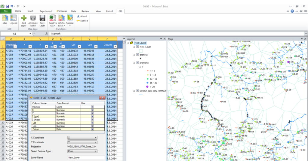
GIS.XL is MS Excel Add-in for spatial data analysis and visualization. Powerful features of Excel and GIS inside one window.
==Features==
Display excel tables in map, export map layer into Excel table, combine Excel tables and GIS Shape Files, edit attribute tables of map layer with Excel features such as filtering, sorting or formulas. Create statistical analysis of spatial data, export Excel data to KML file for Google Earth and many more.
==Benefits==
The essential benefit is combination of Excel and GIS software strengths directly in one window. You no longer need to inefficiently transfer data between multiple programs. Smart features, no special installations, no expensive web services and licensing options for everyone.
==Requirements==
The add-in does not require any specific software or service. You must have only MS Windows Vista (or higher) and MS Excel 2005 (or higher).
Stage
Operating
Platforms
- Windows app
Published
February 23, 2016
